3. Integration of GIS Data
This step illustrates how to load and agentry GIS data.
Formulation
- Load, agentify and display two layers of GIS data (building and road).
- Modify the initialization of the people agents to put them inside buildings.
Model Definition
species
To integrate easily the two data layers, we have to define two species of agents: the building agents and the road ones. These agents will not have a particular behavior, they will just be displayed.
We define an aspect for these species. In this model, we want to represent the geometry of the agent, we then use their geometry in the draw statement. In order to draw the geometry of the agent, we use the attribute shape (which is a built-in attribute of all agents).
species building {
    aspect default {
	draw shape color: #gray border: #black;
    }
}

species road {
    aspect default {
	draw shape color: #black;
    }
}
Global variables
GAMA allows to automatically read GIS data that are formatted as shapefiles. In order to let the user chooses his/her shapefiles, we define two global variables. One allowing the user to choose the road shapefile, one allowing him/her to choose the building shapefile.
Definition of the two global variables of type file representing the GIS files:
global {
    file shape_file_buildings <- file("../includes/building.shp");
    file shape_file_roads <- file("../includes/road.shp");
}
agentification of GIS data
In GAMA, the agentification of GIS data is very straightforward: it only requires to use the create command with the from facet with the shapefile. Each object of the shapefile will be directly used to instantiate one agent of the specified species.
We modify the init section of the global block in order to create road and building agents from the shapefiles. Then, we define the initial location of people as a point inside one of the building.
global {
    ...
    init {
	create road from: roads_shapefile;
	create building from: buildings_shapefile;
	create people number:nb_people {
	    speed <- agent_speed;
	    location <- any_location_in(one_of(building));
	}
	ask nb_infected_init among people {
	    is_infected <- true;
	}
    }
}
Note that the name of a species can be used to obtain all the agents of a species (here building returns the list of all the buildings). We can thus us the one_of operator on building to pick a random building agent. The any\_location\_in operator returns a random point inside a geometry or an agent geometry.
environment
Building a GIS environment in GAMA requires nothing special, just to define the bounds of the environment, i.e. the geometry of the world agent. It is possible to use a shapefile to automatically define it by computing its envelope. In this model, we use the road shapefile to define it.
global {
    ...
    geometry shape <- envelope(shape_file_roads);
    ...
}
display
We add to the map display the road and building agents. Again, as we named the aspects default we can omit to specify them in the species inside the display.
In the experiment block:
output {
    display map {
        species road;
	species building;
	species people;
    }
    ...
}
Complete Model
model model3
global {
int nb_people <- 500;
float agent_speed <- 5.0 #km / #h;
float step <- 1 #minutes;
float infection_distance <- 2.0 #m;
float proba_infection <- 0.05;
int nb_infected_init <- 5;
file roads_shapefile <- file("../includes/road.shp");
file buildings_shapefile <- file("../includes/building.shp");
geometry shape <- envelope(roads_shapefile);
int nb_people_infected <- nb_infected_init update: people count (each.is_infected);
int nb_people_not_infected <- nb_people - nb_infected_init update: nb_people - nb_people_infected;
float infected_rate update: nb_people_infected / nb_people;
init {
create road from: roads_shapefile;
create building from: buildings_shapefile;
create people number: nb_people {
speed <- agent_speed;
location <- any_location_in(one_of(building));
}
ask nb_infected_init among people {
is_infected <- true;
}
}
reflex end_simulation when: infected_rate = 1.0 {
do pause;
}
}
species people skills: [moving] {
bool is_infected <- false;
reflex move {
do wander;
}
reflex infect when: is_infected {
ask people at_distance infection_distance {
if flip(proba_infection) {
is_infected <- true;
}
}
}
aspect default {
draw circle(5) color: is_infected ? #red : #green;
}
}
species road {
aspect default {
draw shape color: #black;
}
}
species building {
aspect default {
draw shape color: #gray border: #black;
}
}
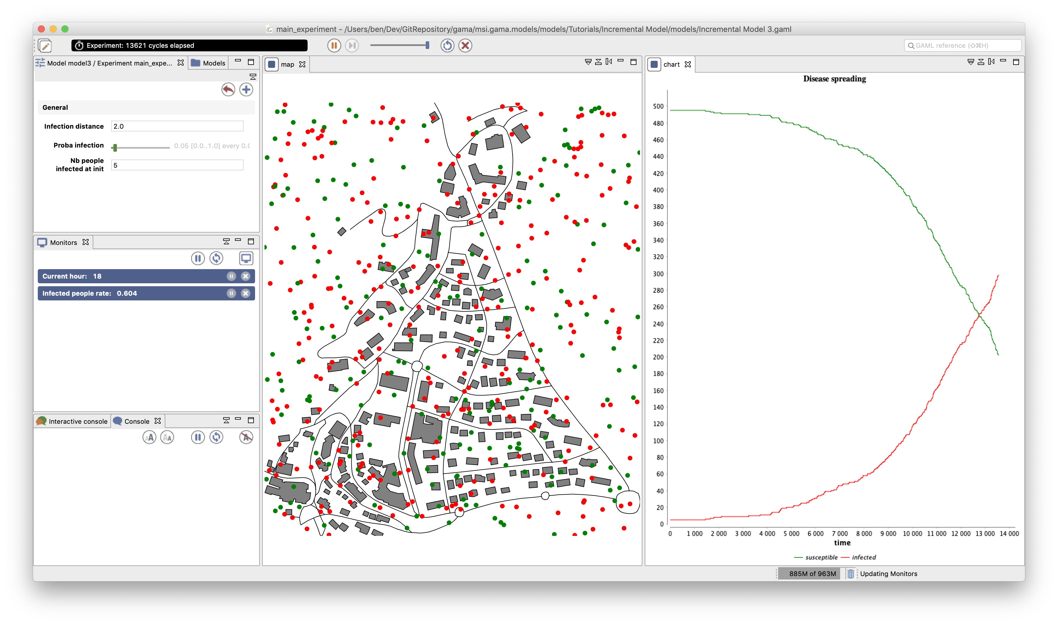
experiment main_experiment type: gui {
parameter "Infection distance" var: infection_distance;
parameter "Proba infection" var: proba_infection min: 0.0 max: 1.0;
parameter "Nb people infected at init" var: nb_infected_init;
output {
monitor "Current hour" value: current_date.hour;
monitor "Infected people rate" value: infected_rate;
display map {
species road;
species building;
species people;
}
display chart refresh: every(10 #cycles) {
chart "Disease spreading" type: series style: spline {
data "susceptible" value: nb_people_not_infected color: #green marker: false;
data "infected" value: nb_people_infected color: #red marker: false;
}
}
}
}